California's Gold Rush Country by Dave Wyman
Dave Wyman's Gallery Dave Wyman's Gallery
×
  1. Dave Wyman's Gallery
  2. California's Gold Rush CountryCalifornia's Gold Rush Country
Sierra Nevada Eastside
Album-2021-01-19-2229
Foggy Night in Los Angeles
Coastal Bike Rides
Trek Émonda
Yosemite's Natural Fire Fall
Had Camera, Did Travel - 2015 in Review
Italy by Bike 2015
The Wildflower Century - Chico, California, 2015
Getting High on Haleakala
A Photograph On Occasion
Yosemite, Selected Images, 2014
Route 66 - 2015
Navajo Country - 2014
A Ride Up Stelvio Pass, Italy
The Un-Yellowstone/Teton Photography Tour, 2013
Clover Avenue Elementary School
The Swingin' 60s - An Eyewitness Account
Homage Galleries
It's Hip to Be Square
Indian Country Galleries
Holiday Festivals of Los Angeles
The Mother Road - The Route 66 Galleries
California Galleries
Mountain Home - Photography Amongst the Giant Sequ
The Oregon Galleries
An August Ascent of Mt. Sill
The Tidelands of South Carolina
Yellowstone Country - Autumn, 2007
The Magic of Autumn - Yosemite, 2006
Sierra Nevada East Side - Autumn, 2006
Zion, Bryce and Las Vegas - A Photography Tour
Death Valley Haikus - Winter, 2007
Yosemite in Winter - 2007
Emigrant Highways - San Joaquin Valley, California
The Glory of Yosemite - Spring, 2007
Winter in Yosemite - 2008
Death Valley 2008
Yellowstone Country - Autumn, 2008
Mono Lake, Bodie Ghost Town and Autumn Colors - Si
Autumn in Yosemite, 2008
Route 66, California - Barstow to Amboy - 2008
Route 66 - Barstow to Amboy, California - 2009
San Diego Natural History Museum - Death Valley -
Land of Fire and Ice - The Cascades and Northern C
Return to Steinbeck Country
Point Reyes National Seashore, California - Previe
Rapha Continental -The Navajo Nation Ride
Beyond the Snapshot: The Point Reyes Peninsula
Yellowstone Country 2009
Yosemite in Autumn - October, 2009
Sierra Nevada East Side - 2009
Indian Country and the Southwestern United States
The Southwest - Canyon Lands and Indian Country, 2
The Mother Road - Route 66, 2010
Family Camping Trip Galleries
The Fargo Street Hill Climb, Version 2010
California's Gold Rush Country
Yosemite's Waterworks, Spring, 2010
The Central Coast of California - 2010
Mule Pack to the High Sierra
Point Reyes, Tomales Bay, Petaluma - 2010
Sierra Nevada East Side - 2010
Winter in Yosemite - 2011
IPhonic Imagery
Death Valley - Spring, 2011
En Plein Air: The Central Coast of California
Steinbeck Country 2011
City of Angels - Photojournalism
Oregon Photo Tour/Ken Rockwell Homage - 2012


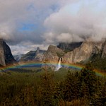
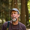
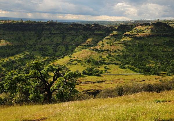
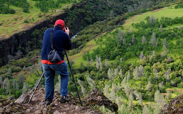
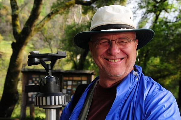
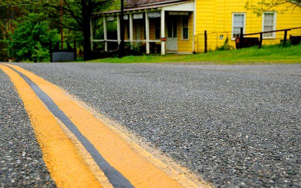
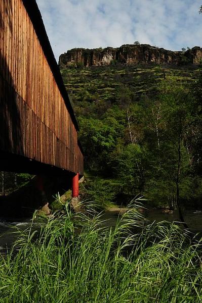
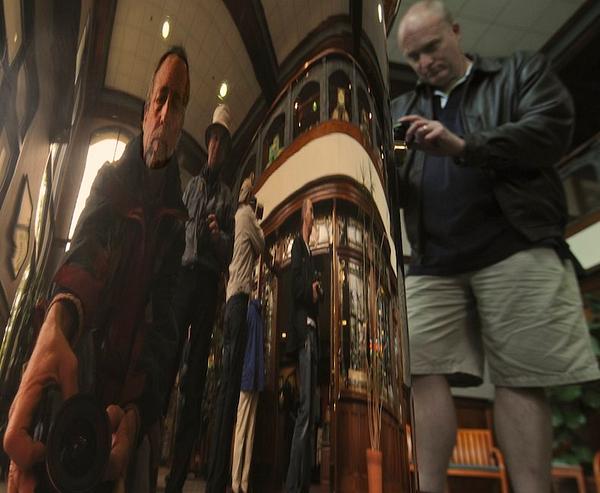
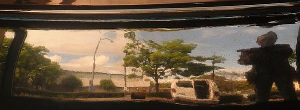
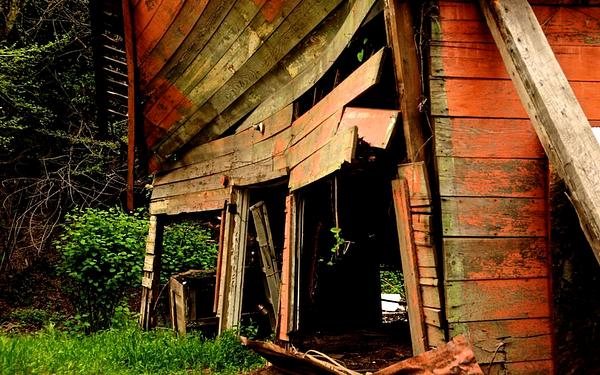
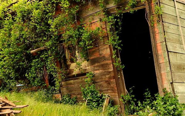
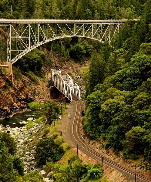
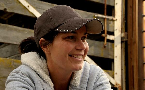
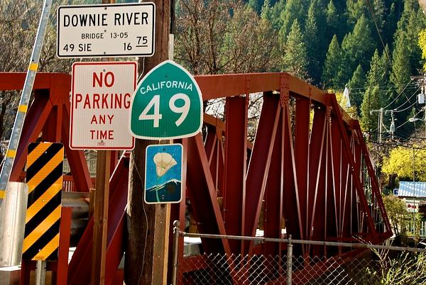
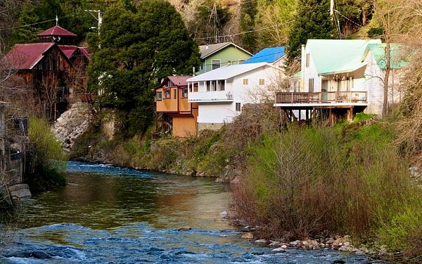
As we have for the past few years, Ken Rockwell and I led a group of photographers along the backroads of California. This year, we explored the northern reaches of California's historic Gold Rush country. Our circular route led us north and east from Sacramento, the state capitol, to the quintessential gold rush towns of Nevada City and Downieville, down the Feather River Canyon to the town of Chico, and back to Sacramento. In between we photographed old mines, ghost towns, local citizens, ourselves, and the sublime scenery of the Northern California.


The Gold Rush began in 1848, with the discovery of flakes of gold at the bottom of a creek flowing through a lumber mill. People are still looking for gold, and still finding it, in one form or another.


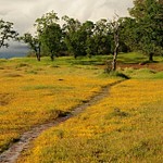
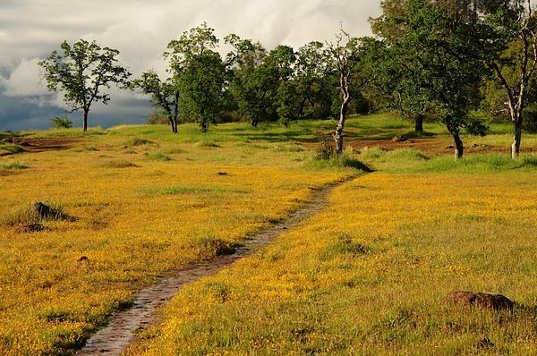
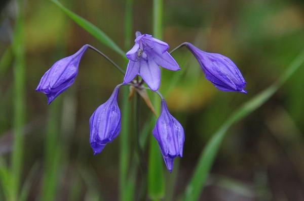
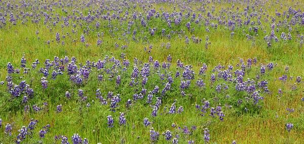
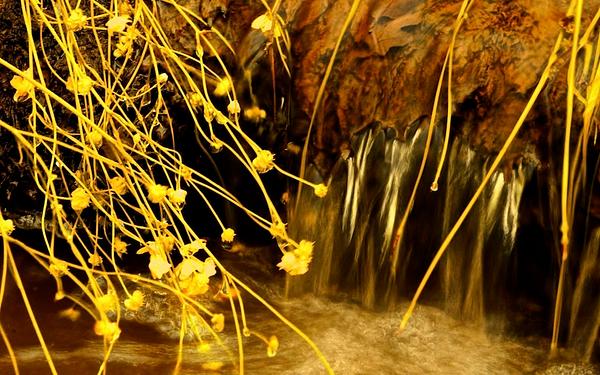
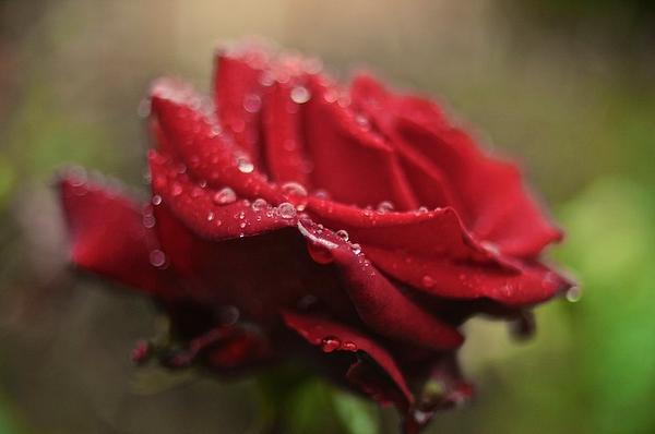
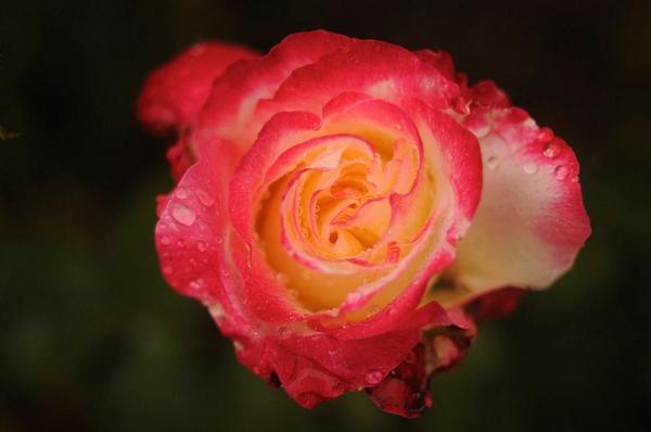
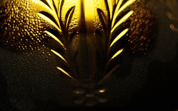
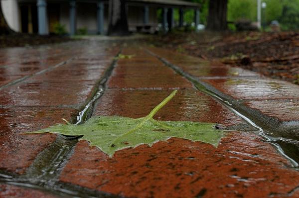
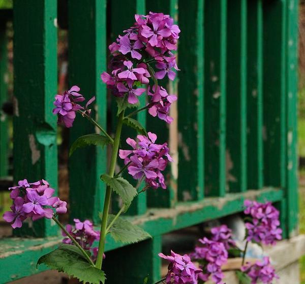
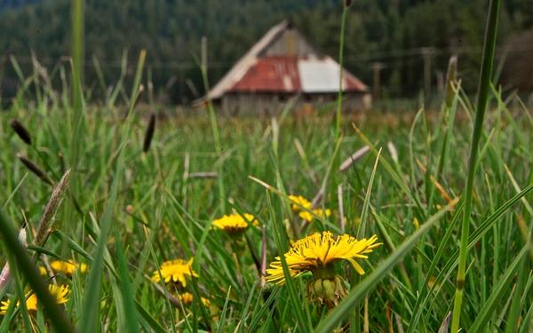
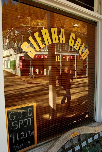
Though California's image of late seems tarnished, gold can still be found, and not just in miners' pans or under the ground. More transitory yet recurrent forms of gold can be found in fields of golden flowers, and not infrequently at sunrise and sunset, when golden light fills the sky. And the Golden State is still a land of golden opportunities, drawing now, as it did more than a century and a half ago, people from around the world. In this sense, surely Gold Rush country is as much as state of mind as it is a place fixed by geography.


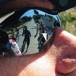
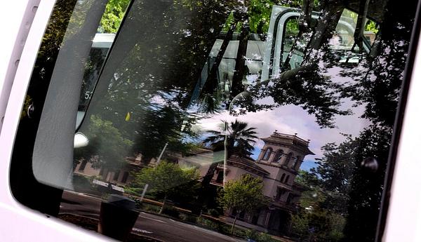
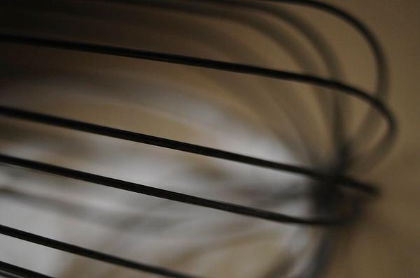
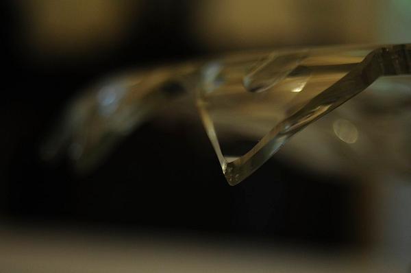
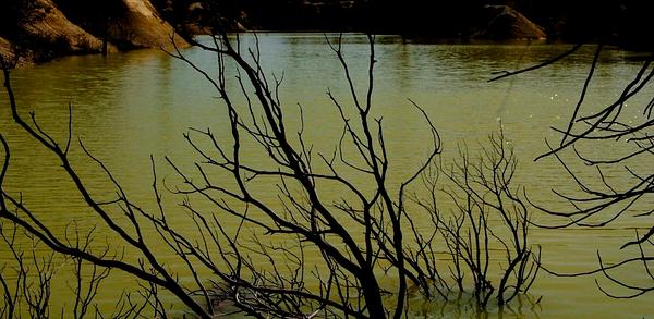
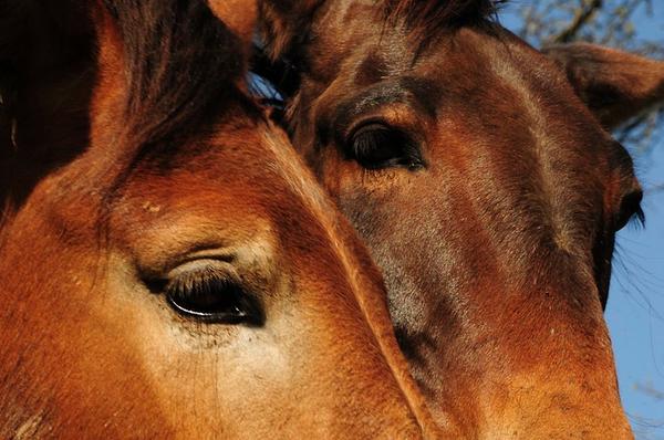
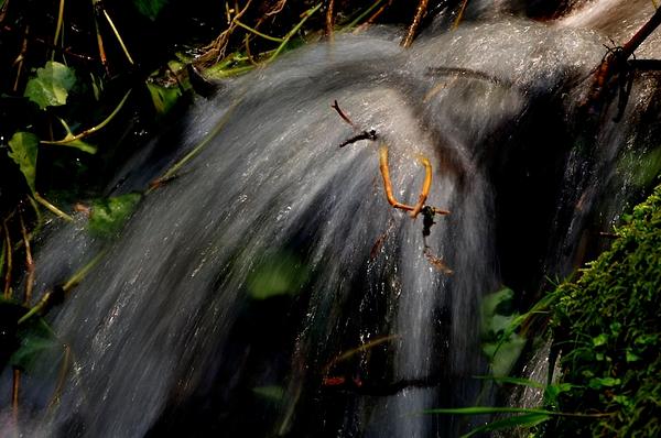
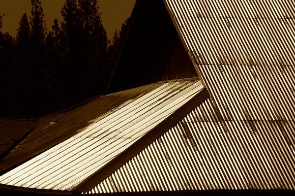
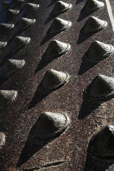
My photographic approach saw me as often as not restricting my field of view. I attempted to master methods of photographing visual fragments, rather than the entirety of what I saw. In so doing, I hoped to create my own encompassing vision of Gold Rush country.

There is Still Gold in Gold Rush Country
What a glorious end to the day. I had only to point my camera and depress the shutter. All the elments were there: a beautiful scene, a leading line, a small-enough f/stop to put everything in focus.
Overlooking Upper Bidwell Park
Chuck Photographs BIg Chico Creek Canyon
Wildflowers in Upper Bidwell Park
Wildflower in Bloom, Upper Bidwell Park
Even at f/8, at this magnification, the background is blurred sufficiently to put emphasis on the flowers.
Bidwell Park Ranger Shane Romane
Steve at the Honey Run Covered Bridge
Field of Lupines, Table Mountain (Above the Town of Oroville)
Creek and Wildflowers, Oregon City
This is another scene found by one of our participants, Steve Johnson. Colors were saturated in my computer; this was, after all, gold country.
Oregon City Covered Bridge
Ravi pointed out to me that this position not only made for a nice photograph, but obscured an annoying road sign, too.
Cherokee - Former Gold Rush Town
For me, the yellow line matches up nicely with the yellow building. My camera's lens was pointed to low minimize the gray, overly bright sky; then, with my photo program, I cloned some of the trees into the background to obscure the portion of sky that was still visible.
Honey Run Road Covered Bridge
Self Portrait, Sierra Nevada Brewery
My Reflection at the Sierra Nevada Brewery
This is what I saw through the viewfinder of my camera as I pointed the lens toward the window, and focused on one of the curved vats of beer inside the building.
Wet Rose at Chico State
A large f/stop - f/2 - ensured a blurred background, which put the emphasis foremost on the color of the rose and the drops of water.
Rose, Chico State Campus
It had been a quite rainy morning, and it was raining still as a couple of us made photographs of the flowers in the Chico State rose garden.
Bidwell Mansion in the Reflection of Our Van Window
Detail, Wall Lamp Fixture, Bidwell Mansion
Washing Board, Bidwell Mansion
Annie Bidwells Egg Beater
Detail of Table Decoration, Bidwell Mansion
Piano - Bidwell Mansion
Almonds in Jar, Bidwell Mansion
Bidwell Mansion, Reflected in a Puddle of Rain
Having lived in Chico for a while, and having visited the town often over the past several years, I've photographed the signature mansion many times. This time I came up with another way to do it, although I practically had to lay on my belly to do it.
Leaf and Walkway, Bidwell Mansion State Historic Park
Fireweed at Pulga
Falling-Down Building, Pulga
Another image Richard found.
Old Building at Pulga
Old Building, Pulga
The Auto and Train Bridges at Pulga, Along the Feather River Canyon
The original photograph, made under cloudy skies, was fairly washed out. I added contrast and pumped up the vibrancy of the colors, and saturated the green a bit. The interesting bridges were enhanced, I think, by the lucky s-curve of the train tracks. I'm not sure why the s-curve is touted as a worthy addition to a photograph; I suppose it helps lead the eye to the main subject or, in this case, subjects.
At the Handly Ranch, Taylorsville
Girl and her Lamb, Taylorsville
Dandelions and Barn, Taylorsville, California
Using a small aperture, f/22, let me keep the barn in the background in focus enough to know what it was.
Camera Collection, Taylorsville Museum
Lampshade, Sierra City
Bridge over the Yuba River, Downieville
The Office of the Sixteen to One Mine, Downieville
Richard in reflection as we walked the streets of Downieville. On a Monday morning, we nine photographers were about the only people out and about.
Motorcyclists in Downieville
Motorcyclist in Downieville
Downieville, California
Cherokee Hydraulic Mining Site
A Monitor (Water Canon) at Malikoff Diggings State Park
Water canons washed a hold in the mountains that was 1,000 feet long, 700 feet wide, and 300 feet deep. Debris clogged the San Francisco Bay and raised the bottom of the Yuba River higher than the cities of Yuba and Marysville, which lie on either side of it in the Sacramento Valley; levees still hold back the water.
At Malakoff Diggins State Park
Hydraulic mining in the 1870s and early 1880s eroded vast areas of the Sierra Nevada Mountains. The most massive was, and is, at Malakoff Diggins State Historic Park. So much mud was washed down the creeks and rivers that it impeded ship traffic in the San Francisco Bay and raised the Yuba River bottom higher than the surrounding cities of Yuba and Marysville, where today levies still hold back the water.
We Meet New Friends
Richard Explores the Edge of the Yuba River
Edwards Crossing Bridge Over the South Fork of the Yuba River
Unnamed Creek Near Edwards Crossing Bridge
Usually a 6th of a second or longer exposure is enough to capture a sense of movement in the water of a creek.
Old Gas Pump, Empire Mine
Roofs at trhe Empire Mine
Rivet Covers, Empire Mine
I found Richard Burns, one of our group, photographing the rivet covers, and I copied, probably not as well, his vision.
Scroll To Top

Audio Mute
Prev
Play
Next
Shuffle
Include
Privacy and cookie policy
This site uses cookies to enhance your browsing experience, serve personalized content, and analyze traffic. By continuing to use this site you agree to use of cookies and stewardship of your data.